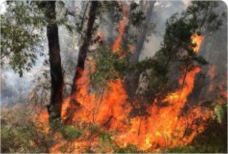
Bushfire Management Plans for Reserves
Reserves, conservation estates, and recreation areas present unique challenges for bushfire management. These landscapes must provide safe public access and protect ecological values, while also meeting statutory planning and fire safety requirements.
We prepare Bushfire Management Plans specifically designed for reserves and natural areas. Our team combines technical planning expertise with practical bushfire experience to deliver site specific solutions. We work with land managers, local governments, and community stakeholders to ensure each plan supports bushfire resilience and sustainable land use outcomes.
Our Reserve Management Plans typically include:
Bushfire risk assessment: for natural and recreation reserves
Access and egress planning: for public safety
Fuel management strategies: that protect biodiversity while reducing risk
Complaince: with state and local bushfire planning frameworks
With a proven track record across Western Australia and Queensland, we deliver management plans that are compliant, practical, and responsive to the unique values of these landscapes.
Projects
-
City of Karratha BRMP
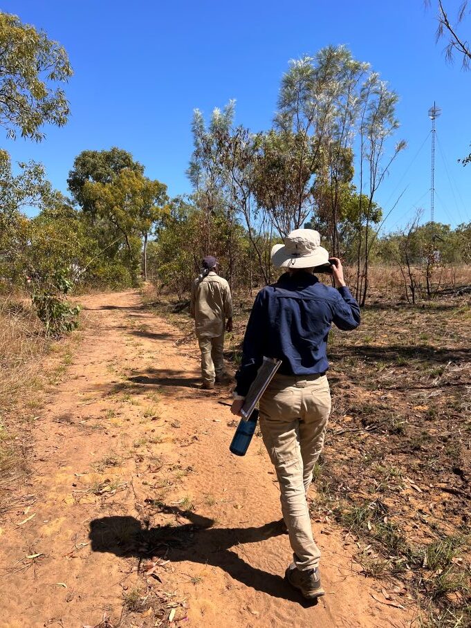
BPP have completed an exciting new phase of work which builds upon a wealth of bushfire experience within the team, with the completion of the City of Karratha Bushfire Risk Management Plan.
Accreditations and Awards





bushfire prone area map
The Map of Bushfire Prone Areas identifies land in Western Australia that has the potential to be impacted by bushfires.


