
Bushfire Prone Planning staff present at the 2018 WAIS Conference
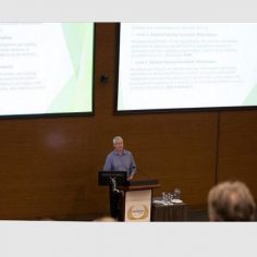
The WAIS (Western Australian Institution of Surveyors) Annual Conference: 'The Business of Surveying' was held Friday, 18 May 2018 at the University Club of Western Australia. Titled 'The Business of Surveying', the conference representatives presented on a range of topics from why the surveying industry is important to the community, impacts...
Read MoreRural Fire Service in Western Australia
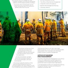
The State Government has announced the creation of a dedicated Rural Fire Division within the Department of Fire and Emergency Services (DFES). It will focus on the way the State tackles rural fire management, with a greater emphasis on mitigation activities and training and enhancing partnerships with this State’s bushfire volunteers. We...
Read MoreBushfire Prone Planning staff recognised in FIRE Australia Magazine (Issue Four – 2017)
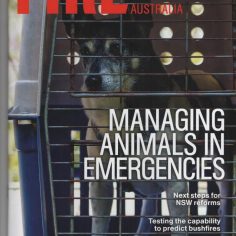
Fire Australia is the flagship publication of Fire Protection Association Australia, providing the main vehicle for distribution of information on fire protection and fire safety to all members and related stakeholders. In Issue Four (2017) 2 Bushfire Prone Planning staff members are recognised for there ongoing work in delivering the BPAD...
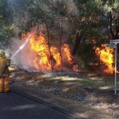
Read MoreShort Stay Accommodation (Vulnerable Land Use) in Bushfire Prone Areas (Air BnB)
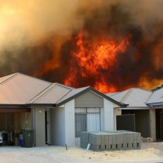
Thinking of registering your home as Short Stay Accommodation or Air BnB in a Bushfire Prone Area? Contact Bushfire Prone Planning to discuss your requirements for progressing your development application through your Local Government. Version 1.3 of the Guidelines for Planning in Bushfire Prone Areas was released in December 2017. The...
Read MoreStateWide Service – BAL (Bushfire Attack Level) Assessments – Albany & Denmark
Bushfire Prone Planning is a bushfire risk management company that prides itself on the ability to offer State-Wide BAL (Bushfire Attack Level) Assessments and Bushfire related services. With BPAD Accredited (Level 1 & Level 2) Bushfire Assessors based in Margaret River and Albany, Bushfire Prone Planning is well placed to service...
Read MoreBushfire Prone Planning Announced Finalists in Fire Protection Industry Awards 2017

Bushfire Prone Planning are proud to be Finalists for the Company of the Year 1-49 Employees Award and a Finalist in the Fire Protection Project of the Year Category at the Fire Protection Industry Awards 2017 presented by the FPA Australia. FPA Australia Awards 2017 "We congratulate the finalists not...
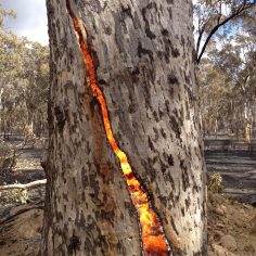
Read MoreStateWide Service – BAL (Bushfire Attack Level) Assessments – Western Australia

Bushfire Prone Planning is a bushfire risk management company that prides itself on the ability to offer State-Wide BAL (Bushfire Attack Level) Assessments and Bushfire related services. Just in the last month alone our Senior Bushfire Consultant Alex Aitken was in the Shire of Canarvon, the City of Esperance and the...
Read MoreBushfire Prone Planning – September News (2017)
Bushfire Prone Planning is the only consultancy in WA with two Level 3 BPAD Accredited Practitioners. Having difficulties getting your Proposals Approved? Speak to one of our Experienced Level 3 Bushfire Planning & Design Practioners today. Our Level 3 Accredited Practitioners can also provide Alternative Solutions, Performance Based Solutions and can undertake AS3959...
Read MoreBPP Now offers a range of Environmental Surveys and Impact Assessments
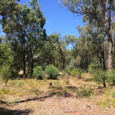
Bushfire Prone Planning is a bushfire risk management company offering state-wide services and expert advice. We are now delighted to offer our clients a range of environmental surveys and impact assessments to complement our existing services in bushfire risk assessment and management planning. Understanding vegetation structure, biodiversity, and the functional...
Read MoreMike Scott to Participate in WA BUSHFIRE WORKING GROUP
Mike Scott (Level 3 BPAD Practitioner - BPP Director) has been successful in his Expression of Interest to be part of the Western Australian Bushfire Working Group. The main purpose of the Western Australian Bushfire Working Group is to allow for open and transparent communication between industry and regulators. (Bushfire Services...
Read MoreService Areas


 |