Media Statement: New action plan to fix bushfire inconsistencies (Buti Report)
The McGowan Labor Government has announced a three-stage action plan to address the inherited inconsistencies across Western Australia’s bushfire frameworks, standards and mapping.The $1.5 million Action Plan for Bushfire Framework Review 2019 will ensure that bushfire planning and building frameworks remain robust and based on scientific evidence while also providing better recognition of specific landscapes and bushfire risks.
As part of the first stage of the plan, a new Map of Bush Fire Prone Areas will be gazetted tomorrow by the Fire and Emergency Services Commissioner.It will increase the minimum area of declared bushfire prone vegetation from one hectare to four hectares in the metropolitan Perth Central sub-region.
The change will apply across 19 local governments from Stirling to Belmont to Fremantle, resulting in a 30 per cent reduction in the number of properties declared bushfire prone and requiring additional planning and building costs.The new map brings WA into line with other states including Victoria, which has a four-hectare threshold, and only applies to properties in the Perth Central sub-region.
The Fire and Emergency Services Commissioner has also brought forward the scheduled five-year review of the Mapping Standard for Bush Fire Prone Areas, which are used to inform the update of the map each year.The review will aim to improve the quality of the mapping, ensure changes to the methodology are founded in science and will examine the interaction of the map with other land uses.
A multi-agency working group will also conduct ground-truth assessments of land currently declared bushfire prone but which may pose a lower bushfire risk such as golf courses, verge strips and coastal dunes to re-evaluate their appropriateness for inclusion on the map. Stage two of the Action Plan is a $520,000 CSIRO study to develop a new mapping methodology. The intermittent release of updated maps expanding from the Perth Central sub-region, outer metropolitan and major regional centres with a new State-wide map expected to be released in late 2020.
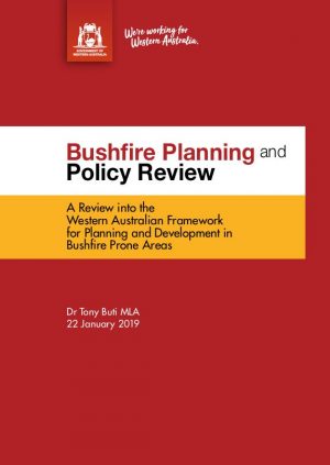
Stage three will seek to reduce the regulatory burden by amending relevant policies in line with new mapping protocols, including State Planning Policy 3.7 – Planning in Bushfire Prone Areas and the Guidelines for Planning in Bushfire Prone Areas. The Action Plan for Bushfire Framework Review 2019 has also considered the recommendations made by Dr Tony Buti MLA in the Bushfire Planning and Policy Review: A Review into the Western Australian Framework for Planning and Development in Bushfire Prone Areas (the Buti Report).
More information about planning and building requirements in bush fire prone areas is available online at http://www.dplh.wa.gov.au and http://www.commerce.wa.gov.au/building-and-energy
- February 2025
- November 2024
- October 2024
- September 2024
- August 2024
- May 2024
- April 2024
- August 2023
- July 2023
- April 2023
- May 2022
- February 2022
- November 2021
- March 2021
- February 2021
- January 2021
- November 2020
- October 2020
- August 2020
- June 2020
- April 2020
- March 2020
- February 2020
- November 2019
- August 2019
- March 2019
- January 2019
- November 2018
- October 2018
- May 2018
- March 2018
- February 2018
- November 2017
- October 2017
- September 2017
- August 2017
- June 2017
- April 2017
- March 2017
- February 2017
- January 2017
- December 2016
- November 2016
- August 2016
- July 2016
- May 2016
- April 2016
- March 2016
- February 2016
- January 2016
- December 2015
CATEGORIES
ARCHIVES
- February 2025
- November 2024
- October 2024
- September 2024
- August 2024
- May 2024
- April 2024
- August 2023
- July 2023
- April 2023
- May 2022
- February 2022
- November 2021
- March 2021
- February 2021
- January 2021
- November 2020
- October 2020
- August 2020
- June 2020
- April 2020
- March 2020
- February 2020
- November 2019
- August 2019
- March 2019
- January 2019
- November 2018
- October 2018
- May 2018
- March 2018
- February 2018
- November 2017
- October 2017
- September 2017
- August 2017
- June 2017
- April 2017
- March 2017
- February 2017
- January 2017
- December 2016
- November 2016
- August 2016
- July 2016
- May 2016
- April 2016
- March 2016
- February 2016
- January 2016
- December 2015


